It's undisputed this year's weather has been unkind to many regions. Northland, Auckland, Coromandel, Gisborne and Nelson have experienced unprecedented rain and flood events but is crazy weather the new normal?
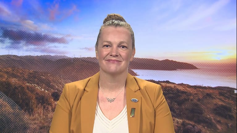
Lisa Murray is the head of weather communication at MetService and told 1News she's aware of those who might think constant and unpredictable flood events are here to stay. She said that while climate change is upon us, other influences have been at play and she believes it's "unlikely" the country will see the same thing happening every year.
"This year there was a bit of luck involved and the north was unlucky," she said, adding "it's about where these systems combine and hit" that decides how severe they will be.
She said there are three factors which have led to 2023 being a tough year for many weather-wise.
"First, La Niña has stuck around for three years and this year influenced the highs over the South Island during summer where there was great weather for most, but the door was left open to the North Island" which she said bore the brunt of the severe wet weather.

This contributed to the wind, rain and flood events that many regions in the north have experienced.
"Cyclone Gabrielle and the Auckland Anniversary weekend floods were La Niña events. They were so slow moving, we had numerous hours of heavy falls leading to flooding situations," Murray said.
"In general for Gabrielle the centre of the low was very long causing massive impacts."
According to NIWA climate scientist Gregor Macara, La Niña tends to precipitate more northeasterly winds which come from the sub tropics. But La Niña conditions can also persist through winter, he said.
El Niño and La Niña are opposite phases of a naturally occurring global climate cycle known as the El Niño Southern Oscillation.
Warmer than average air and sea temperatures can occur around New Zealand during La Niña.
New Zealand is currently in a Neutral phase, meaning we are not in one state or the other, although the country is about to head into the El Niño phase. This means colder temperatures delivering winds from the Southern Ocean.
Murray said secondly the warmer sea surface temperatures that occurred in the long La Niña phase also contribute to unstable weather.
Officials are warning temps will continue to surge as the El Niño weather pattern returns. (Source: 1News)
"Seawaters that are a degree more mean the systems pack more of a punch," she said.
Third, Murray said, are the impacts of climate change, which she said "isn't going anywhere".
She points to the increasingly destructive nature of cyclones.
"The cyclones from the tropics that come to us are stronger than they were 50 years ago. They are going to cause more destruction and that has been tested scientifically by peer-reviewed climate change scientists."
Murray said the effects of the flood events and Cyclone Gabrielle is bringing the need for preparedness to the fore.
"We need to mitigate the impacts of climate change and we need this election to be about climate change and how we can prepare for it."
She said is the wake of this year's weather events "and all industries that worked across Gabrielle — everyone is doing reviews about how to better protect our people and our cities for these events".
"There are people who think we are going to have worse and worse weather. Yes it's been a diabolical year for people and the infrastructure of New Zealand but it's unlikely we will see these events every year. Not to the extent that there will be one event after another in the same places.
"It's unlikely to happen to this extent if we continue to have an El Niño pattern," Murray said.
And it's the El Niño system that the country is about to transition to.
"Transition to El Niño means a much more mobile weather pattern and bouts of southwesterly weather," she said.
Murray explained the system runs through "really quickly" rather than the slow-moving rain events the country has experienced this year.
"For example, this week we have a southwesterly flow where we can get lovely sunshine and then it can quickly move to becoming a shower."
She said the month of July will be unsettled as the seasonal trend moves from La Niña in into El Niño.
"Historically there's a lot of movement in the weather systems during this phase."
June weather a mixed bag

It comes following what was a reasonably settled month in June for much of the country.
In June, Auckland had more sunshine hours (155) than its average of 110. Wellington also recorded above average hours at 132 compared to the average of 117. Christchurch was well below average, recording 92 hours from its average of 123.
NIWA's June climate summary revealed Tauranga was the warmest, wettest, and sunniest main centre, Wellington was the driest, Christchurch the coolest, and Dunedin the least sunny.
It was a particularly dry month for Manawatū-Whanganui, Kāpiti Coast, and parts of Wellington and the Mackenzie Basin, where less than 25% of normal June rainfall was recorded. It was another wet month for Gisborne, Hawke’s Bay and Northland.
Seven locations observed record or near-record high rainfall totals for June. With 303mm, Gisborne recorded 282% of normal June rainfall, making it the city's second-wettest June since 1905.


SHARE ME